Google Updates Haiti Imagery Layer for Maps and Earth, Shows Earthquake Damage [Screenshots]
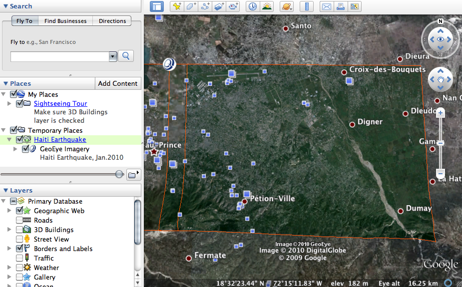
The Google Maps team has been working hard with partner GeoEye to push out an updated imagery of Haiti. The update includes imagery taken at 10:27 am EST on Wednesday, January 13 – approximately 15 hours after the earthquake hit.
You can download the KML file to view in Google Earth and the layer is available for viewing in Google Maps as well.
The imagery is primarily for Port-Au-Prince. Google says they’ll add more imagery, but you only need to download the file once.
Here’s what the imagery looks like in Google Earth:
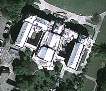
Presidential Palace
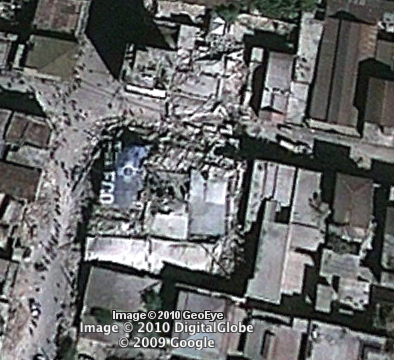
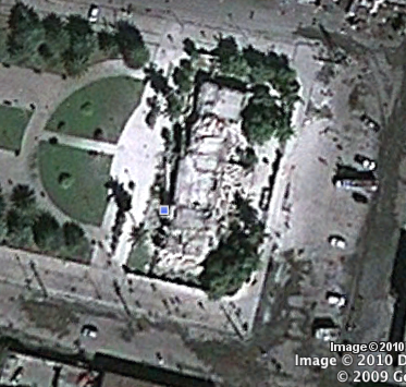
Random damage imagery

More about:
The Merkle B2B 2023 Superpowers Index outlines what drives competitive advantage within the business culture and subcultures that are critical to success. It is the indispensable guide for B2B marketers to deliver world-class experiences and keep pace with the dynamic environment. Download Now
The ClicData survey found that various challenges exist that prevent organizations from achieving such gains. These challenges included inaccessible data formats and limited flexibility in displaying data in dashboards. Download Now
The need for fraud prevention in the digital world is critical now more than ever. Why? Thinking about your own behavior, consider how you complete transactions and how this has changed over the last 5 years. Download Now
The need for fraud prevention in the digital world is critical now more than ever. Why? Thinking about your own behavior, consider how you complete transactions and how this has changed over the last 5 years. Download Now
Leave a Reply
You must be logged in to post a comment.