Bing Maps Adds Updated Haiti Imagery Plus Streetside Coverage for Vancouver and Whistler
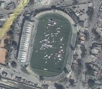
Bing Maps has updated their imagery of Port-Au-Prince, Haiti to reflect current conditions in the wake of last week’s earthquake. Their imagery comes from Digital Globe’s new Worldview 2 satellite.

In addition to the damage, it’s easy to see where people are congregating outdoors as they feel unsafe to be inside their homes and other structures:

The Haitian earthquake has shown the ability of various nations to come together to provide relief to people who so desperately need it. Another event that displays similar solidarity offers a more positive experience: the Olympics.
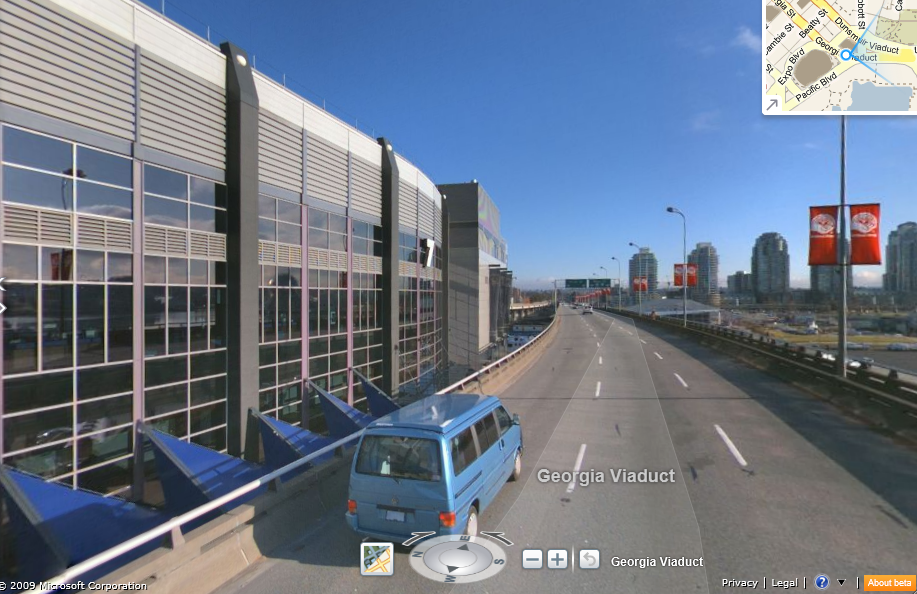
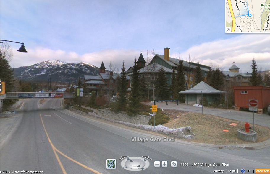
The winter Olympics are next month in Vancouver, British Columbia. Bing has been working hard to get their Maps for the area in tip top shape for the big event. They’ve added Streetside imagery for Vancouver and nearby ski town Whistler to assist Olympians and spectators as they navigate their way to various events.
I can’t express enough how fun it is to use Bing Maps. It’s so smooth and Streetside is fun and it flows so nicely. It’s difficult to express the experience with words – you have to go try it for yourself.